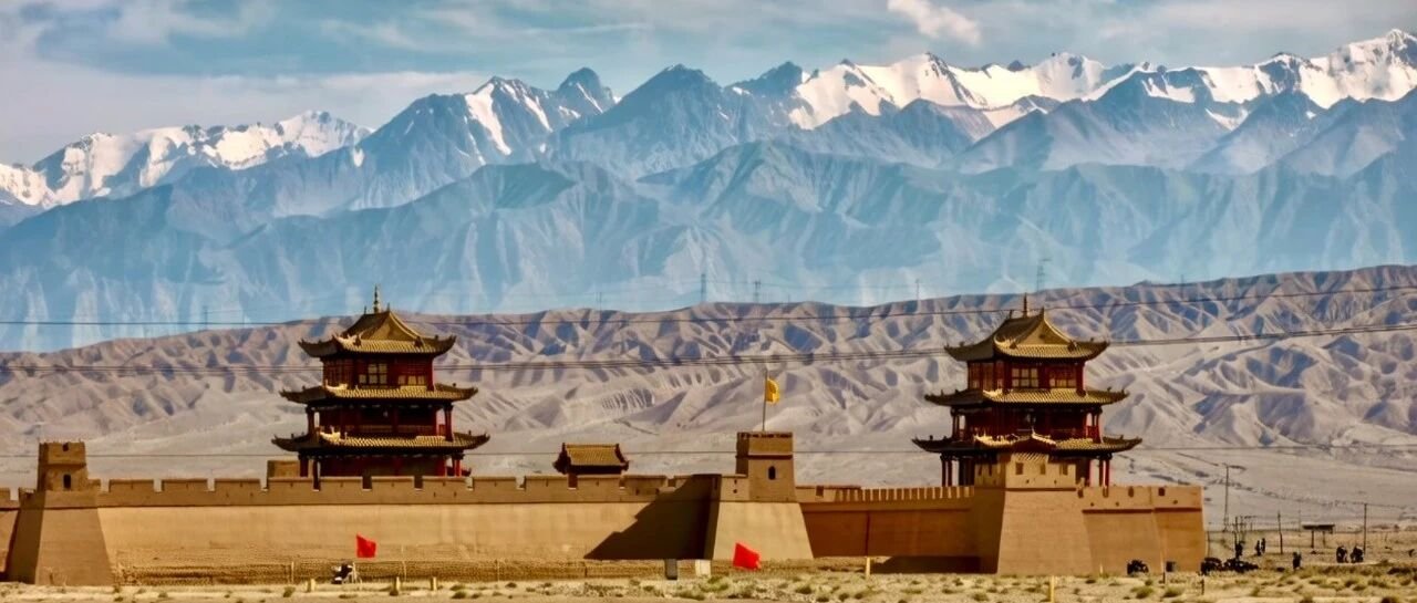
The Karakoram Highway (G314) threads 435 kilometers of raw Himalaya into one of the planet's greatest drives, climbing from the dusty streets of Kashgar to the wind-scoured Khunjerab Pass on the Pakistan border. This self-drive guide walks you through every stop along that legendary ribbon of asphalt.
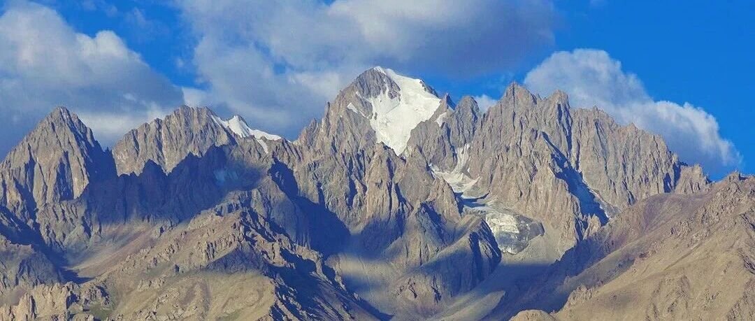
The road traces the old Silk Road caravan line through some of the most brutal, beautiful mountain country on Earth. Leaving the parched Kashgar basin behind, the tarmac winds upward through valleys and over passes, the Pamir Mountains rising on all sides — a wall of ice and scree that swallows the sky.
Route: Kashgar to Khunjerab Pass
From Kashgar the highway bends south into country that grows wilder with every kilometer. Each stop trades one wonder for another — wind-fluted yardang hills give way to glacial lakes cradling 7,000-meter peaks.
Red Mountain Valley
A free pull-off along the highway, the Red Mountain Valley shows off wind-carved reddish hills so stripped and rust-colored they feel borrowed from Mars. Late-day sun rakes across the ridges and sets the whole formation glowing — bring a camera, and catch it in the golden hour. No entrance fee.
White Sand Lake
A lake of almost impossible blue, hemmed by white sand dunes and snow-capped peaks. White sand, blue water, and the green of the foothills collide in a palette that shouldn't coexist — and yet it does, sharp enough to sting the eyes. Entrance fee: 40 yuan.
Karakul Lake
At 3,600m, Karakul Lake mirrors three 7,000-meter giants: Muztagh Ata (7,546m), Kongur Tagh (7,719m), and Kongur Tiube (7,595m). On a still morning the peaks hang in the water so perfectly you can't tell sky from surface — a sight that lingers for days. Entrance fee: 45 yuan, and you can bed down in Kyrgyz yurts right at the lakeshore.
Muztagh Glacier Park
Here you meet the "Father of Ice Mountains" himself — Muztagh Ata — up close. Wooden trails and viewing platforms carry you toward the snout, where blue ice towers and jagged crevasses open like frozen lightning. Entrance fee: 66 yuan.
Tashkurgan
A frontier town where China brushes shoulders with Pakistan, Afghanistan, and Tajikistan at once. Above the Tashkurgan River valley stand the Stone City ruins, silent witnesses to a thousand caravans. Tajik and Han cultures mingle in the streets — sample the local Tajik cooking, climb the old fort, and sleep here before the final push to the pass.
Wakhan Corridor
A sliver of land that once carried the Silk Road westward, the Wakhan Corridor runs toward Afghanistan between cliff walls that lean in from both sides. No crowds, no concessions — just raw stone and the hush of a route the world forgot.
Khunjerab Pass
At 4,700 meters, this is the highest paved border crossing on Earth. A grand gate straddles the China-Pakistan line. Even in July the wind hits like a fist and the temperature can plunge below freezing — and at this altitude the air thins to a whisper, so pace yourself. Entrance fee: 40 yuan.
Travel Tips
Border Permit: You'll need a border defense permit to travel beyond Tashkurgan. File the paperwork at the Kashgar Public Security Bureau or let your hotel handle it — and don't forget your passport.
Altitude Sickness: The road tops 4,000m, and the thin air doesn't warn you before it bites. Spend a night acclimatizing in Kashgar (1,300m) before climbing, and pack oxygen canisters and altitude-sickness medication.
Clothing: Summer up here can still drop to near freezing once the sun dips. Pack warm layers, a windproof shell, and gloves no matter the season.
Vehicle: Any sedan will manage the paved highway, but an SUV buys comfort and peace of mind on the rough stretches. Top off the tank in Kashgar — fuel stops thin out to almost nothing once you're underway.
Best Time: Aim for May through October. Snow can shutter the pass entirely in winter.